By Neeraj Kumar
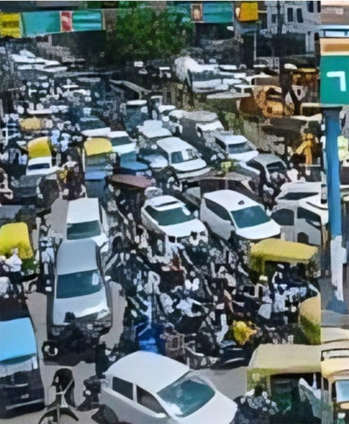
Patna: Traffic police in the capital city of Patna are set to become smarter, offering significant benefits to the general public. The Bihar Police, in collaboration with the Map My India app, will now provide real-time updates on potential traffic jams along users’ routes. By entering their location into the app, users will receive information about traffic congestion, estimated travel time, and alternative routes. This initiative is part of Bihar Police’s partnership with Map My India to streamline traffic management.
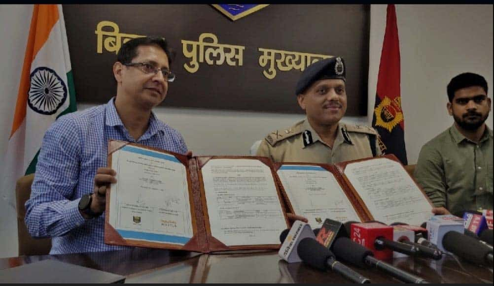
With just a click, residents of Bihar will receive up-to-the-minute updates on traffic conditions. An agreement has been signed between the Bihar Police and Map My India. The MoU was endorsed by ADG Traffic, Sudhanshu Kumar, and Vice President of Map My India, Ali Rizvi, and will be implemented across Bihar from 1st October.
Once the app is downloaded, users will have access to comprehensive route information, including real-time images of key locations such as junctions and streets. In case of traffic jams, the app will suggest alternative routes. It will also provide updates on traffic management, road safety, and emergencies. Additionally, users will be informed about nearby hospitals, schools, colleges, markets, police stations, road cameras, and hotels, according to ADG Traffic, Sudhanshu Kumar.
On the occasion, Kumar stated that traffic information will be provided at two levels via the navigation app. He emphasised that in the event of road obstructions, heavy traffic, protests, rallies, VIP movements, or accidents, drivers will receive updates directly on their mobile app. The app will also provide details of speed breakers, nearby hospitals, trauma centres, and petrol stations.
The service will be rolled out across Bihar from 1st October, offering substantial convenience to those travelling through the app. Traffic information from the police will also be shared regularly via WhatsApp groups in each district, ensuring real-time updates. Users will have access to three types of information on the app, with details provided by both the police and the public. These will include maps, images, and essential data.
